Knowledge Sciences, Inc.

NEW!
see
the synthetic terrain flyover and  the
Gallery

Select a topic below:

Terrain Analysis Tools

Terrain analysis originated as a military term denoting the process of analyzing and interpreting man-made and natural features on the earth’s surface.

Today terrain analysis applies to a wide range of scientific and engineering disciplines such as  Archaeology, Civil Engineering, Hydrology, Ecology, Land Development, Environmental Engineering, Military Planning, Forestry, Natural Resource Management, and Urban Planning. 
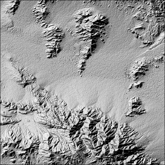
The features presently extracted by the Terrain Analysis System are landforms and drainage. From the geomorphologic discipline we know that using landform information we can infer material composition and internal arrangement. For example, the sand dune terrain feature provides information of the sand grain size distribution and its bedding structure.

The Terrain Analysis System, being developed in conjunction with Leighty and Associates, Inc. is a tool for the semi-automated extraction of landform objects from digital elevation data. The system utilizes a knowledge based, physiographic approach. This development is an outgrowth of research performed for DARPA.


The Hypermedia TerraIn Database is a hypermedia database of desert landforms. The database contains:  airphoto, ground-based, LANDSAT and panoramic imagery; anaglyphs; fly-overs; video; spectral data; and text. This data is organized in a dersert landform hirearchy.


The image to the right was generated using 30m resolution Shuttle Radar Topography Mission (SRTM) data. SRTM data will eventually exist for 60% of the Earth's surface. Landforms were delineated using the Terrain Analysis System.

Plain Image  - 4x vertical exaggeration shaded relief of Digital Elevation Data set.

Color Overlay - Partial delineation of landforms: red - mountains; yellow - alluvial fans; green - valleys; blue - wash areas.

Terrain Analysis System output - Avawatz Mountains, CA

 
Portions of this work have been funded by the DARPA SBIR program (TAS), the Army Research Office (HTD), MERIT (HTD) and MASINT (HTD). 
Copyright © Knowledge Sciences, Inc. PO Box 3385, Ponte Vedra Beach, FL 32004-3385
904-280-7478 bleighty@knowsci.com
Last modified May  4, 2004